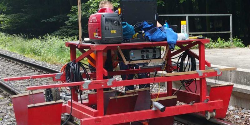
The company geoFact has been carrying out DGPS-supported track measurements with georadar for many years. The latest innovation is an automated image documentation of the measurement section. In this process, a photo of the measured section is taken at a specified distance, e.g. every 5 meters. This documentation facilitates the evaluation and interpretation of the georadar data, since disturbing objects on the surface can be immediately identified and assigned. The image data are made available to the client on request. This provides him with additional information on the current condition of the surveyed track.


